Cloud at the mountain edge
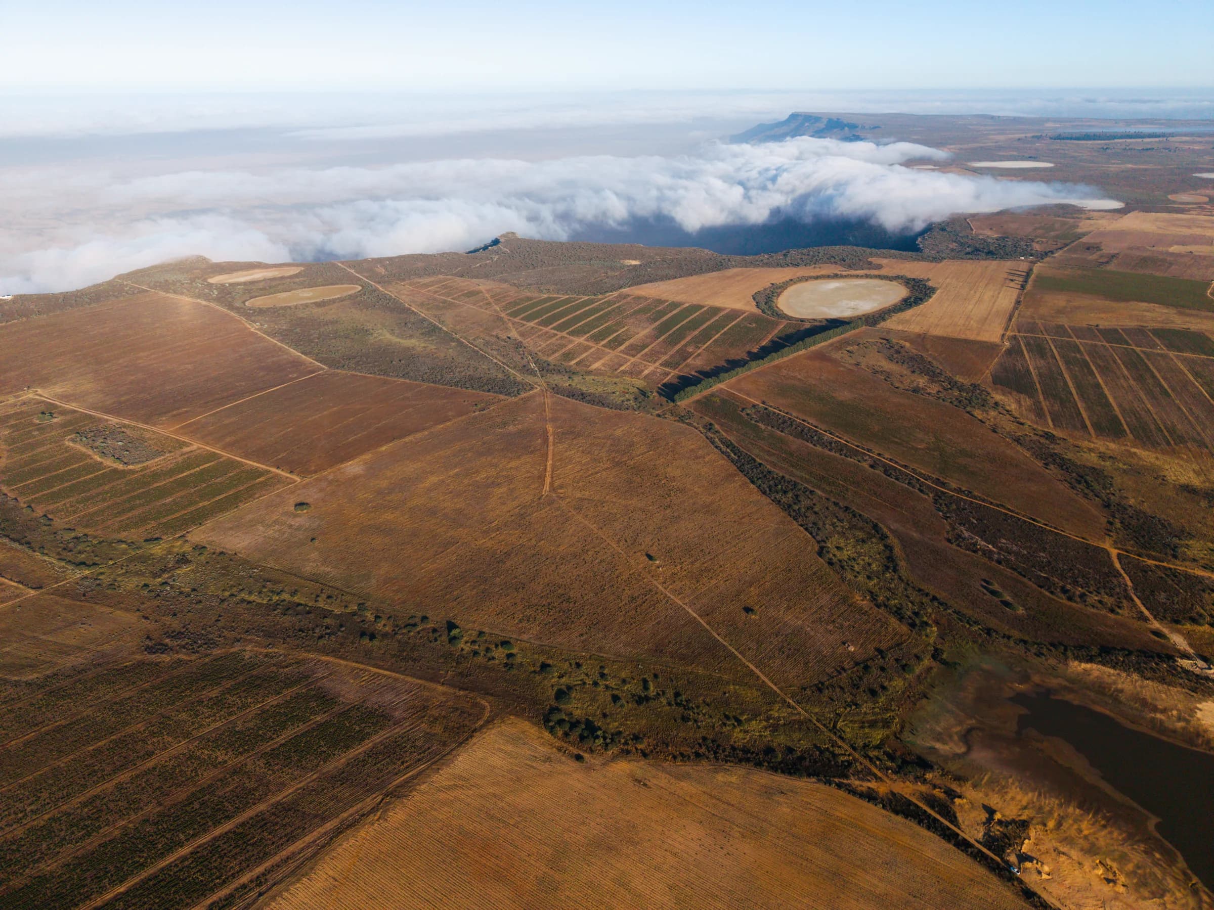
Early on 9 January, cloud lay against the top of the mountain and became mist along its edge. Seen from above, it follows the meeting of the plateau and the country below. In front of it, planted blocks and a dam remain visible, giving the cloud a scale that is difficult to grasp from the ground.
The dam and the lands
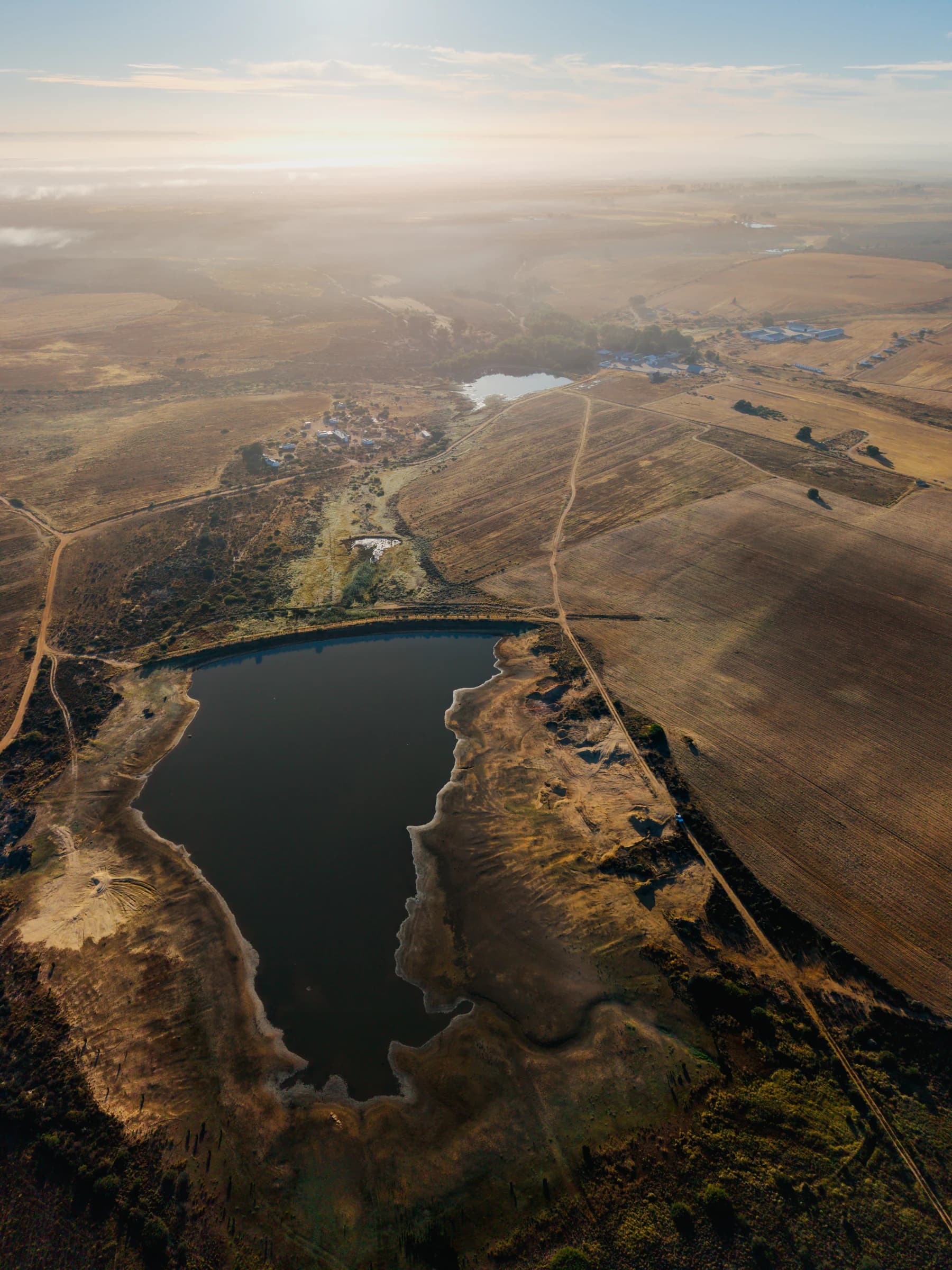
Another aerial view approaches the dam at sunrise. This is the water used to irrigate the vineyards and alfalfa fields. The shapes of the lands, the paths between them and the water appear together in the morning light. It is a view of the working farm as a connected place, rather than a collection of separate fields.
A wider morning
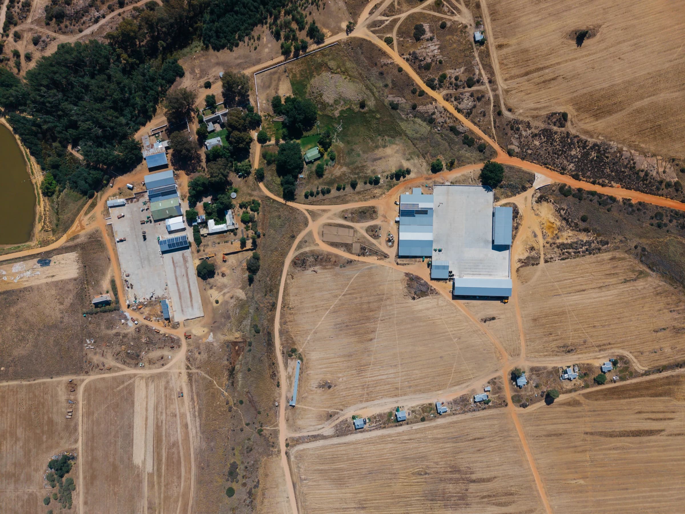
Later that morning, the view opens to Cloudskraal and neighbouring Elandsvoetpad. The photographs move from a bank of mist to the outline of the wider farming landscape. They offer a different perspective on familiar ground, with the mountain edge still giving the scene its shape.